Contact information
Name:
John Clark
Email:
clarkjh@lafayette.edu


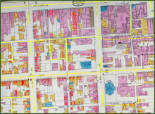
Historical maps contain a wealth of information about the natural and cultural features that existed in the past. Watch a demonstration of how historical map images, readily available online, can be georeferenced using GIS software and compared to satellite views of the Earth today. No previous experience is required and participants will be provided with resources to explore these techniques themselves on the web.