Contact information
Name:
John Clark
Email:
clarkjh@lafayette.edu


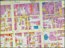
Historical maps contain a wealth of information about the natural and cultural features that existed in the past. This workshop will illustrate how historical map images, readily available online, can be georeferenced and compared to images of the Earth today. No previous experience is required and participants will be provided with resources to explore these techniques themselves.
Zoom link: https://lafayette.zoom.us/j/93399551248